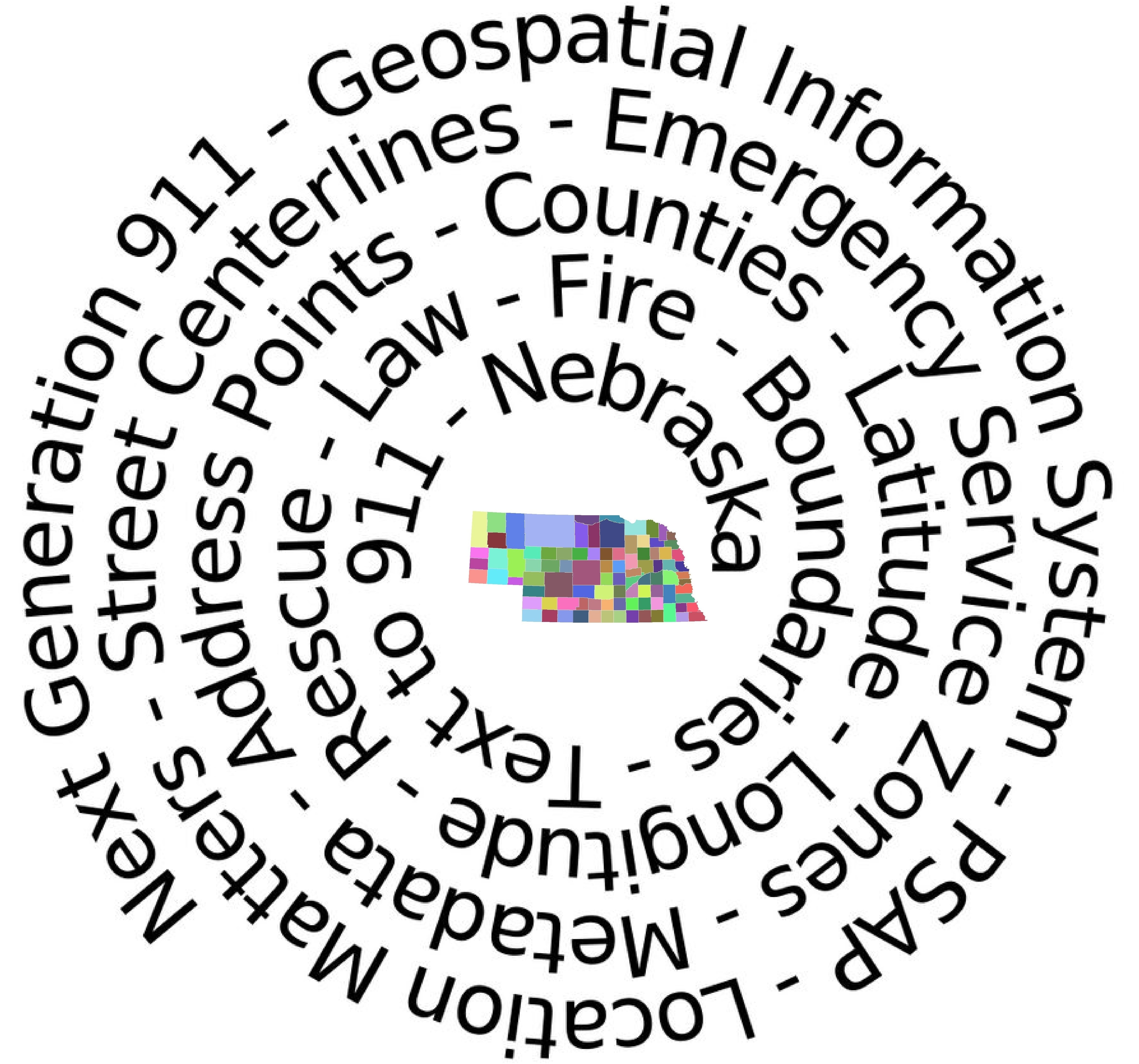
 Precise location information plays an invaluable role in public safety communications. Geographic Information Systems (GIS) is a computer based method for gathering, storing, retrieving, analyzing and presenting geographic and spatial data utilizing interactive mapping software. State 911 Department GIS Specialists, are working with Counties to ensure accurate GIS data that meets State and Federal standards for more specific location data. The completion of a statewide GIS database will play an integral role as Nebraska transitions to a Next Generation 911 System.
![]() GIS Cooperative Agreement- Antelope-Knox-2021-06-28
GIS Cooperative Agreement- Antelope-Knox-2021-06-28
![]() GIS Cooperative Agreement-Chase-Hitchcock-2021-02-01
GIS Cooperative Agreement-Chase-Hitchcock-2021-02-01
![]() GIS Cooperative Agreement-Cherry-Keith(Grant)-2021-02-20
GIS Cooperative Agreement-Cherry-Keith(Grant)-2021-02-20
![]() GIS Cooperative Agreement-Cherry-Keith(Hooker)-2021-01-20
GIS Cooperative Agreement-Cherry-Keith(Hooker)-2021-01-20
![]() GIS Cooperative Agreement-Cheyenne-Garden-2021-01-20
GIS Cooperative Agreement-Cheyenne-Garden-2021-01-20
![]() GIS Cooperative Agreement-Cheyenne-Keith-2021-01-20
GIS Cooperative Agreement-Cheyenne-Keith-2021-01-20
![]() GIS Cooperative Agreement-Cheyenne-Kimball-2021-01-20
GIS Cooperative Agreement-Cheyenne-Kimball-2021-01-20
![]() GIS Cooperative Agreement-Cheyenne-Morrill-2021-01-20
GIS Cooperative Agreement-Cheyenne-Morrill-2021-01-20
![]() GIS Cooperative Agreement-Cheyenne-Perkins-2021-01-20
GIS Cooperative Agreement-Cheyenne-Perkins-2021-01-20
![]() GIS Cooperative Agreement-City of McCook-Furnas-2021-02-01
GIS Cooperative Agreement-City of McCook-Furnas-2021-02-01
![]() GIS Cooperative Agreement-CityofMcCook-Hitchcock 2021-02-01
GIS Cooperative Agreement-CityofMcCook-Hitchcock 2021-02-01
![]() GIS Cooperative Agreement-Dundy-Hitchcock-2021-01-21
GIS Cooperative Agreement-Dundy-Hitchcock-2021-01-21
![]() GIS Cooperative Agreement- Gage-Jefferson-2021-02-05
GIS Cooperative Agreement- Gage-Jefferson-2021-02-05
![]() GIS Cooperative Agreement-Gage-Johnson-2021-03-29
GIS Cooperative Agreement-Gage-Johnson-2021-03-29
![]() GIS Cooperatative Agreement- Gage-Pawnee-2021-03-30
GIS Cooperatative Agreement- Gage-Pawnee-2021-03-30
![]() GIS Cooperative Agreement-Garden-Keith-2021-01-21
GIS Cooperative Agreement-Garden-Keith-2021-01-21
![]() GIS Cooperative Agreement-Hamilton-York-2020-12-20
GIS Cooperative Agreement-Hamilton-York-2020-12-20
![]() GIS Cooperative Agreement-Polk-York-2020-12-21
GIS Cooperative Agreement-Polk-York-2020-12-21
![]() GIS Cooperative Agreement-Saline-Seward-2021-2-12
GIS Cooperative Agreement-Saline-Seward-2021-2-12
![]() GIS Cooperative Agreement-Sarpy-Saunders 2021-01-04
GIS Cooperative Agreement-Sarpy-Saunders 2021-01-04
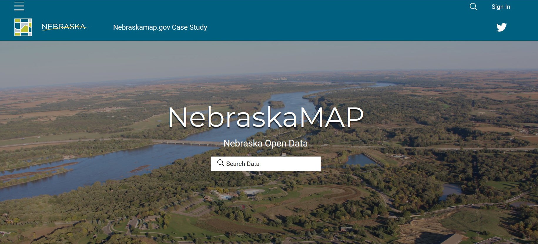
http://www.nebraskamap.gov/
The State of Nebraska NG911 Data Repository is available to browse the state's GIS data that is used by the Public Safety Answering Points (PSAPs) for their Next Generation 911 calls.
Data is updated quarterly as improved information is received and is for informational purposes only.
GIS data must comply with certain standards. Links to information on these standards is provided below:
Questions related to GIS? Send us an Email
